
A San Marcos Street-by-Street Record Walkthrough
A street search in San Marcos works when every result is kept in its proper lane. The address can lead to an appraisal account, parcel boundary, recorded instrument, or dated directory listing. Each answers a narrower question than a household roll would. Start with the current address form, retain variants of its suffix or spelling, and preserve the property identifiers that let one source connect to the next.
- Enter the street number and street name in Hays CAD; note the CAD or Quick Ref ID, legal description, tax year, and the difference between the situs and a mailing field.
- Use the address or identifier to orient the parcel in Hays GIS. Its polygon is a geographic reference point, not proof of a survey or of present occupancy.
- Search the owner and former-owner variants in EagleWeb to find recorded deeds, reception numbers, dates, and legal-description continuity.
- Do not expect a voter list by street. Hays County’s public voter lookup requires an exact first and last name plus date of birth, or a VUID plus date of birth.
- For a historical household clue, compare dated telephone directories and local-history materials, then label the result with its printed year and place.
That sequence is the practical spine of a San Marcos street directory: address first, public property context next, recorded documents after that, and dated historical evidence only where it fits.
San Marcos Address Fields in Hays CAD
Hays CAD is the usual first stop for a present-day address because its search form separates several ways an address can be known. Street Number and Street Name work beside Owner Name, Quick Ref ID, Subdivision, Condo, Owner ID, Tax Year, and Neighborhood. That separation matters when a number is incomplete or a historic deed uses a subdivision, block, or lot rather than today’s street form. The site describes current-year values as preliminary, so record both the source and the date checked.
| Hays CAD field | Useful address-research role |
|---|---|
| Street Number and Street Name | Locate a present address when both parts are known. |
| Owner Name and Owner ID | Connect a property account to a name variant for later deed searching. |
| Quick Ref ID | Keep a concise identifier with the property notes. |
| Subdivision and Condo | Bridge an address to its recorded legal setting. |
| Tax Year and Neighborhood | Keep the result time-bound and distinguish local search context. |
- Parcel
- A mapped unit of land associated with appraisal and GIS attributes; it is not by itself a title conclusion.
- Situs address
- The physical property location used in a parcel record, which can differ from the owner’s mailing address.
- Plat
- A recorded map that lays out a subdivision, block, lot, or related land description.
- Criss-cross directory
- An address-oriented directory format that can provide a dated historical clue where a reverse listing is available.
Keep these terms with the search notes. They make it easier to test whether two differently written street references describe the same San Marcos parcel before moving to a recorded document or older directory.
The Hays County tax advanced search adds Street Number ranges, City, ZIP Code, Property Type, Property Status, Tax Year, and legal-description fields. It is a tax-account route, separate from the appraisal district and from tax-payment processing.
The Hays County tax advanced-search page shows the city, ZIP Code, and property-type controls available for narrowing an address query.
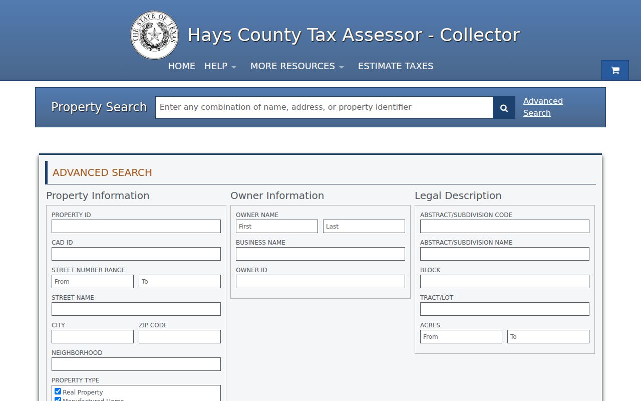
Use a tax result to compare identifiers and legal-description clues, not to turn a mailing or account field into a statement about who currently lives at the address.
San Marcos Street Parcels in Hays GIS
Hays County GIS and 911 addressing bring the physical map into the search. The public parcel layer uses polygons and exposes such fields as Prop_ID, GEO_ID, OWNER_NAME, LEGAL_DESC, SITUS_ADDR, mailing fields, tax year, and year built. Browse a street by its map extent, select a parcel, and compare its attributes with CAD. A polygon can show spatial relationship and parcel context, but it is not a certified survey or a current-resident record.
The layer metadata records acquisition by TNRIS in February 2022 and a last edit on December 22, 2025. Those dates belong in notes on a map-based finding. City GIS offers interactive maps and address material as well; for an unposted city dataset, the documented path is a Public Information Act request rather than an assumption that the field does not exist.
San Marcos Street Deeds in EagleWeb
Once the address has a legal description or owner variant, EagleWeb supplies the recorded-document trail. Hays County’s index begins August 24, 1848 and supports Grantor, Grantee, or either-party searching, along with document type, reception number, date range, subdivision, block, lot, and Find Related. A recorded name can move a San Marcos street directory search backward or forward through a title sequence, while the legal description helps when the street form has changed.
Hays County EagleWeb begins with its recorder disclaimer and document-search controls.
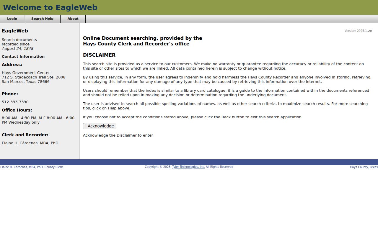
The county calls the index a guide or catalog, rather than the underlying instrument. Capture the reception number, recording date, parties, document type, and legal-description reference, then obtain the recorded image or a certified copy from the County Clerk when the document’s wording matters.
San Marcos Street Name Variants in EagleWeb
Street and surname variations deserve a deliberate search pass. EagleWeb Basic search keeps entered word order, while Advanced search ignores word order. The documented wildcard is *; Advanced search also accepts + for a required term and - for an excluded term. Subdivision alone, subdivision plus block, or subdivision plus block and lot can be used when a street number is not stable enough to carry the search.
EagleWeb’s official help page documents the grantor/grantee, wildcard, operator, and subdivision controls.
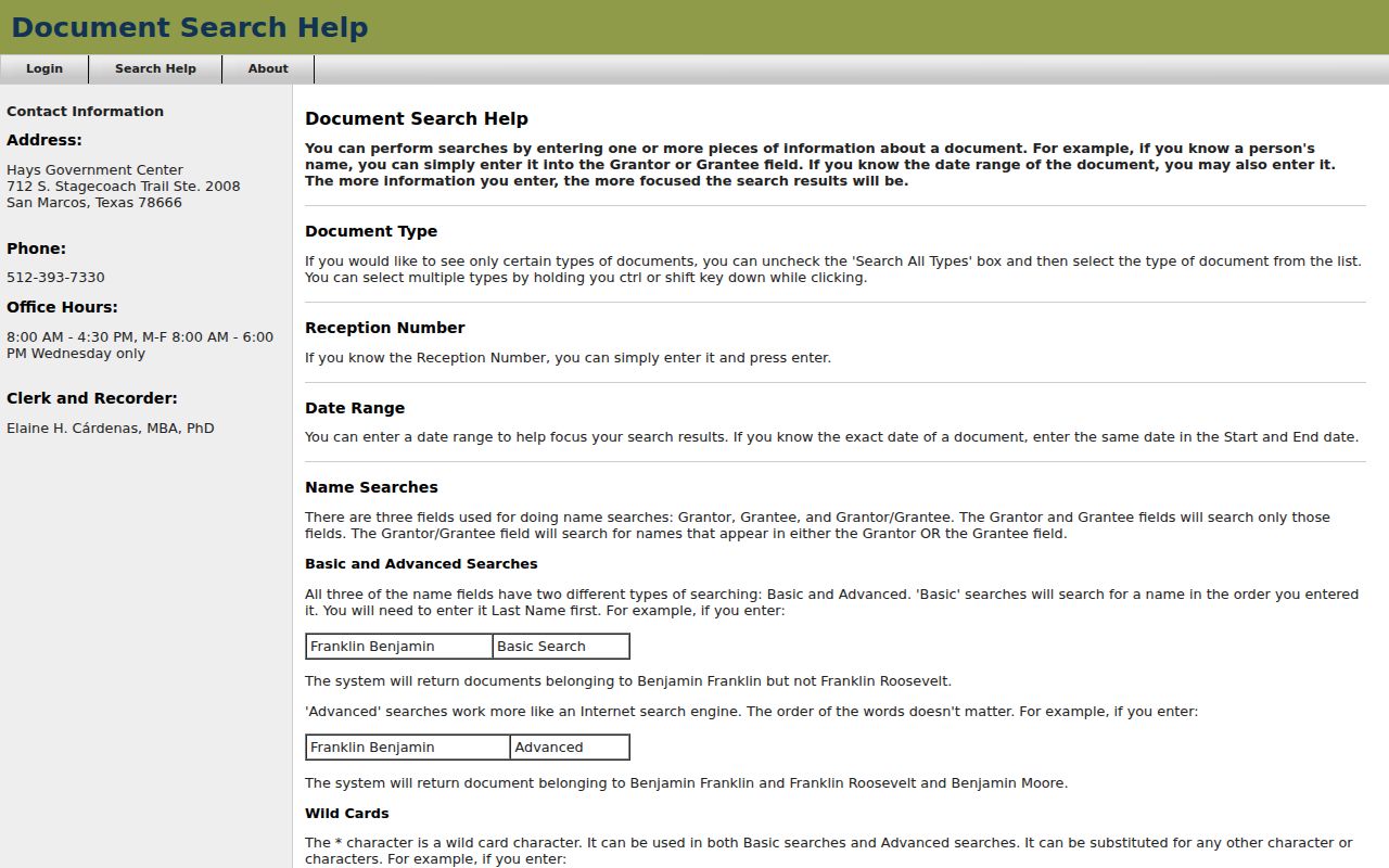
Find Related is especially useful after one dependable instrument is found, because it can follow references or a current legal description. Keep spelling variants, initials, diacritics, historic subdivision names, and street suffixes in the research notes.
San Marcos Street Voter Lookup Limits
The Hays voter lookup is not a browse-by-address tool. Its two modes are exact First Name and Last Name with date of birth, or a 10-digit VUID with date of birth. The county-specific page has no street field, and the public interface is therefore not a way to list everyone associated with a block. It can only be used when the required identifying information and the official access rules apply.
Texas rules also protect Social Security numbers, Texas driver-license or ID numbers, telephone numbers, and certain addresses. A result or absence of a result should not be used to make a sweeping claim about an address. The correct civic use is to verify a record through the official system, preserve its date, and respect confidentiality protections.
San Marcos Address Records by Street
Address-keyed systems overlap, but they do not all establish the same fact. The table below keeps the record sets distinct and shows how a number, legal description, or parcel identifier can move a search between the city and county channels.
| Address record set | Custodian | Useful street clue | Access path |
|---|---|---|---|
| CAD appraisal account | Hays CAD | Owner, legal description, tax year, values, and year built | Public property search |
| Tax account | Hays County Tax Office | Property or CAD ID, owner, city, ZIP, status, and legal description | Advanced search |
| Parcel map | Hays GIS | Polygon geometry plus situs and mailing attributes | County GIS and public parcel layer |
| Recorded documents | Hays County Clerk Records | Grantor/grantee, dates, reception number, and legal-description trail | EagleWeb index; clerk for instruments |
| Permit map | City of San Marcos Permit Center | Application point, status, details, and aerial context | City permit map, 2018 to present |
Use the CAD or property ID, legal description, and normalized street form as the handoffs between systems. A street name alone can be ambiguous, and neither a parcel-map attribute nor an appraisal mailing address proves present occupancy. The San Marcos street directory is most reliable when every conclusion says which dated record supports it.
San Marcos Permit Points Since 2018
The City of San Marcos Permit Center uses MGO Connect for permit applications and related activity. Its permit map covers applications from 2018 to the present, and a map point can show status, details, and aerial context. This is useful for dating a proposal, alteration, or inspection trail attached to a particular location. It is not evidence of who owns the parcel, who occupies it, or whether the work was completed.
Compare a permit-map point with CAD, GIS, and a recorded instrument before adding it to a house or street history. When a needed municipal record is not posted, the city’s records route and a date-bounded Public Information Act request are the appropriate fallback.
San Marcos Street Name Drift
Modern and historic street references do not always align. The municipal code describes a process for street-name changes when annexation creates similar names, including notice to emergency agencies, utilities, offices, USPS, and the school district. A historic hit may also carry a different suffix, unit form, rural-route description, or postal place label. Hays 911 addressing can govern an unincorporated location even when its postal city says San Marcos.
No verified citywide renumbering year was located in the research. Rather than inventing one, search the street-name variants with block, lot, subdivision, legal description, nearby landmark, and directory year. The 1896 Library of Congress Sanborn item, which consists of two San Marcos sheets, can anchor a building footprint and neighboring landmarks, but it does not supply a resident list or a title conclusion.
San Marcos Street Directories as Historical Evidence
For a dated address clue, local telephone-directory scans cover 1899 through 1954, while Texas State University’s San Marcos Telephone Directories collection spans 1918 through 2019. The collections can include surrounding communities, so retain the printed place label, issue year, page or image, and the address exactly as shown. A missing name in the 1899 single-sheet directory may reflect that early service format, not a conclusion about the whole street.
Compare at least three years when the record trail permits: an early hit, a middle confirmation or change, and a later issue. The collection details and reading method belong on the San Marcos city directory page; here, they serve as date-bound support for an address trail rather than a present-day street list.
San Marcos Street Directory Limits
No public source reviewed here is a complete household roster. CAD and GIS can connect an owner or mailing field to a parcel, but they do not prove that person lives there now. EagleWeb documents recorded instruments, not everyone associated with an address. Voter access is identity-gated and protected-address rules apply. Historical directory and cemetery entries are dated clues, not current status. Utilities, driver records, and protected personal details do not become public simply because a street can be mapped.
Privacy boundary. Use San Marcos address records for personal history, family research, and civic understanding, never to track, harass, or intimidate a living person.