
San Marcos Neighbors by Block
San Marcos neighbors are best understood as nearby parcels and civic areas, not as a ready-made household list. A parcel polygon shows which properties touch or lie near a known address. Property records can identify an owner and a mailing field. City maps supply city-limit, ETJ, and neighborhood context. Each source answers a narrower question, and none turns the block into a public roster of every person who may be there.
| Source | What It Shows About a Block | Access |
|---|---|---|
| Hays GIS parcel layer | Parcel polygons, physical-address fields, owner field, legal description, and ZIP fields. | Public GIS service; its technical layer supports map and attribute queries. |
| Hays CAD and tax search | Property, owner, mailing, tax-year, and legal-description context for a selected parcel. | Public search portals with field-based queries. |
| City interactive maps | San Marcos city-limit, ETJ, and neighborhood context around an address. | Public city map route. |
| Hays voter lookup | Registration lookup for a specific, identity-gated search. | Exact name and date of birth, or VUID and date of birth. |
| CONA boundary layer | Mapped association boundary and association name field. | Public boundary layer; not a member directory. |
Owner and occupant are not the same claim. A recorded owner or a mailing address can help place a property record in context, but it does not prove that a specific person currently lives on the parcel. Use a dated, record-specific source for every conclusion about San Marcos neighbors.
Map San Marcos Neighbor Parcels
Begin with a complete street address, then move outward one parcel at a time. The Hays public parcel service is polygon-based, which makes it useful for identifying adjoining geometry without first assembling names. Compare each selected polygon with Hays CAD or the tax search, and preserve the property ID, physical address, legal description, and date checked. This produces an accountable block map rather than a copied list of personal details.
- Locate the known address in City or Hays mapping and confirm whether it is inside city limits, the ETJ, or another county area.
- Select the parcel polygon and record its physical address, legal description, and property identifier.
- Click adjoining or nearby polygons one at a time, keeping each parcel separate from its mailing field.
- Compare a selected parcel with Hays CAD or Hays tax records for current record context.
- For a full named street rather than the immediate block, use the San Marcos street directory and its address-by-address workflow.
The City of San Marcos interactive maps provide the city-limit, ETJ, and neighborhood context used before comparing parcels.
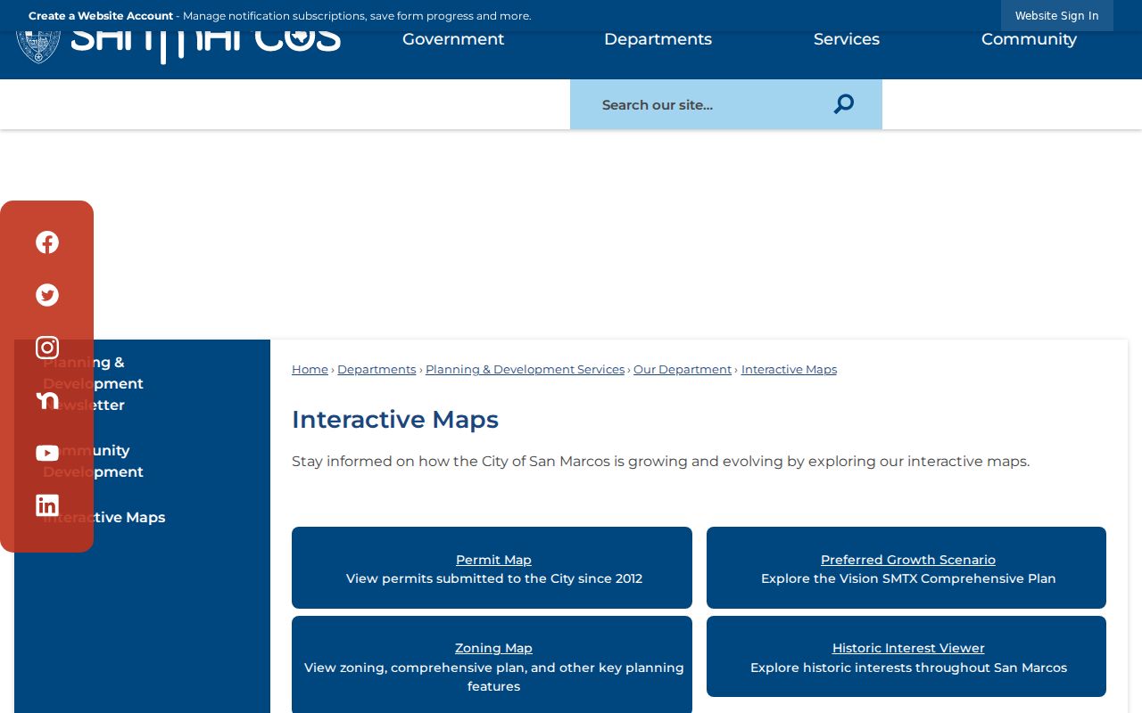
The map capture is a geographic starting point. It helps place a block in the correct jurisdiction before a property record is read.
San Marcos Neighbor Parcel Fields
The Hays public parcel layer exposes fields that make a block comparison possible: OWNER_NAME, Prop_ID, GEO_ID, LEGAL_DESC, SITUS_ADDR, SITUS_CITY, SITUS_ZIP, MAIL_ADDR, MAIL_CITY, MAIL_ZIP, TAX_YEAR, and YEAR_BUILT. The service supports selected fields, geometry and distance queries, ordering, offsets, and several output formats. It is a technical map service rather than a normal name-search form.
- Parcel polygon
- The mapped shape of one property. It helps define which land touches or lies close to another parcel.
- Situs address
- The physical address field associated with the parcel. It should be compared with the map and legal description.
- Mailing address
- The address kept for record delivery. It can be different from the physical parcel location.
- Legal description
- The recorded lot, block, tract, or subdivision language used to distinguish property beyond a street number.
The public layer reports data acquired by TNRIS in February 2022 and a last edit of December 22, 2025. The published service has a 1,000-record maximum. That metadata helps explain why a very broad geographic query should be narrowed to a block or small area.
San Marcos CONA Boundaries
The Council of Neighborhood Associations, or CONA, layer maps neighborhoods that belong to the organization. Its published ASSOC field identifies the mapped association. The layer has a 2,000-record maximum and says the City updates it when CONA supplies new information. It is valuable for learning whether a parcel falls in a mapped association area, but it does not publish a member list, contact roster, or proof that every block resident belongs.
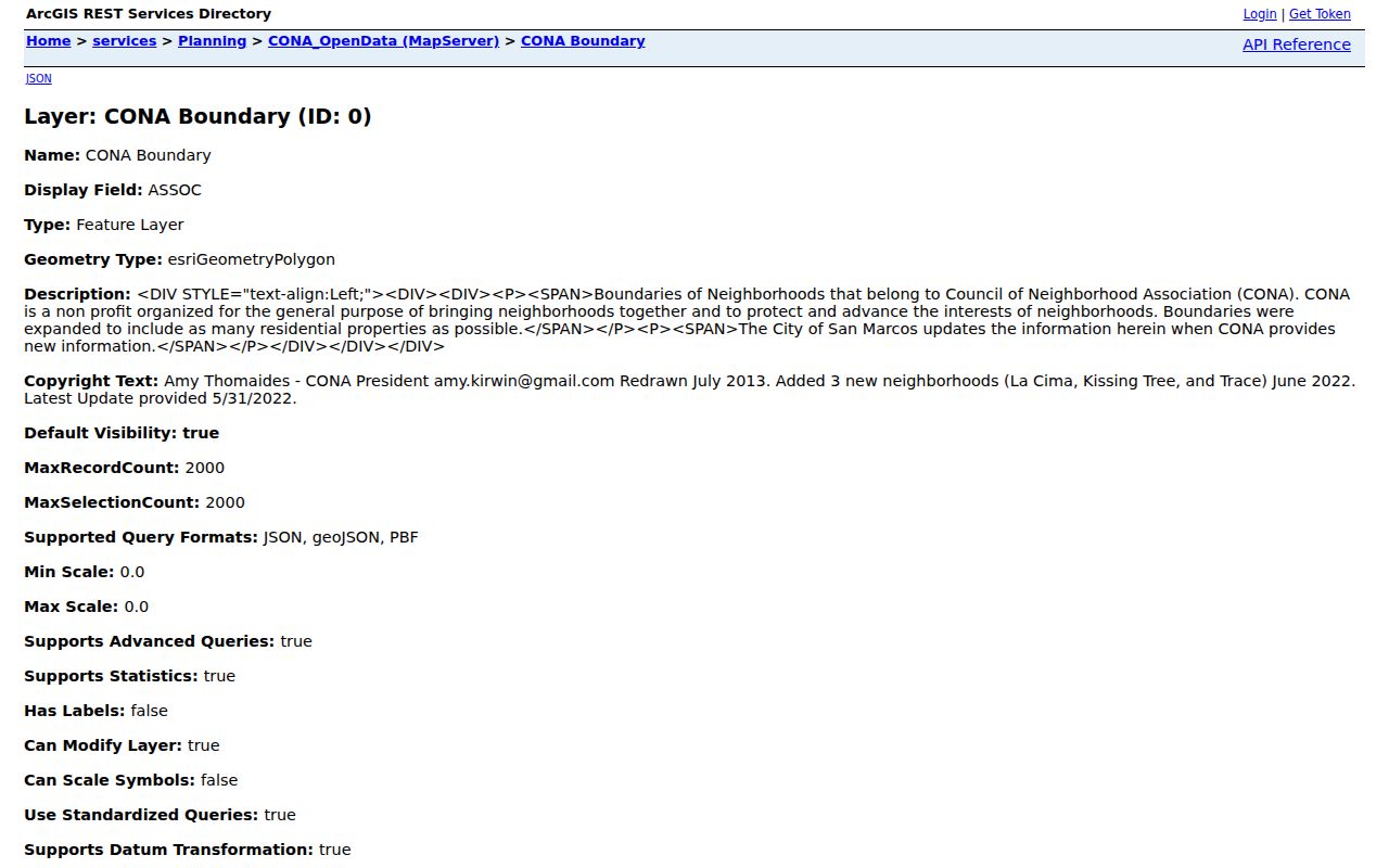
The CONA capture illustrates a boundary and attribute source, not a directory of private households.
La Cima, Kissing Tree, and Trace were added to the layer in June 2022. Its latest listed update was May 31, 2022. Those dates make the layer a useful documented snapshot, while also showing why a current association question should be checked with the organization or City before relying on the boundary.
San Marcos Neighbor Civic Contacts
Association boundaries, civic sectors, and public map contacts are different things. No public member directories for individual San Marcos associations or HOAs were located in the official research. The City’s community-meeting material is therefore a civic-contact lead, not a source for compiling a resident list. The contacts below route a map or public-participation question to the correct kind of public office.
| Public Contact | Role and Contact Details |
|---|---|
| Neighborhood Commission | 12-member advisory body. Meetings are the third Wednesday at 6 p.m., 1040 Texas Highway 123. Yvonne Palacios: 512-393-8442, YPalacios@sanmarcostx.gov. |
| Hays GIS and 911 Addressing | Roads, address points, aerial context, and most county 911 addressing. 512-393-2160 or 512-393-2150, option 6. |
| City Planning | City planning and address-context contact: 512-393-8230. |
| CONA mapped associations | Use the public boundary layer to identify an association area, then seek current public contact information from that organization or City route. |
These civic channels can clarify an area boundary or meeting sector. They should not be used to request a private household roster.
San Marcos Neighbor Source Checks
Official records and commercial neighbor tools serve different purposes. The official sources described here identify a custodian, record type, and coverage boundary. Commercial tools can blend marketing data, old directory material, public filings, and inferred links. Their results can be stale, merge people with the same name, omit protected records, or leave out the source date. Compare the category of source before treating an entry as a fact.
| Source Category | Useful For | Do Not Infer |
|---|---|---|
| Official parcel and tax records | Parcel, recorded owner field, tax context, legal description, and situs or mailing fields. | Current occupancy, certified title, or a full household list. |
| Official civic maps and CONA layer | City, ETJ, parcel, and mapped-association context. | Private association membership or legal neighborhood status without the source map. |
| Commercial neighbor tools | A lead that must be checked against a dated official or archival source. | That a merged profile is current, complete, or attached to the right person. |
For San Marcos neighbors, a record becomes more useful when its field, custodian, and date stay attached to it. A single map pin or a name match is not enough.
San Marcos Neighbor Sectors
The City’s 2026 community-meeting schedule is the most current official inventory found for neighborhood names by civic sector. It places Downtown in Sector 8 and Dunbar or Heritage in Sector 1. Sector 2 includes Castle Forest, La Cima, Oak Heights, Southwest Hills, Vista de los Santos, Westover, and Willow Creek. Sector 5 includes Cottonwood Creek, El Camino Real, Hills of Hays, Mockingbird Hills, Sunset Acres, Trace, and Wallace Addition.
Some names repeat across sector meetings. Rio Vista appears in Sector 4, and Hunter’s Hill and Willow Creek appear again in Sector 9. That repetition is meaningful: the schedule is a civic-meeting inventory, not a set of clean legal boundaries. For San Marcos neighbors, tie a block to a parcel, plat, subdivision, Sanborn sheet, or legal description before treating a neighborhood name as a precise border.
San Marcos Neighbor Voter Limits
The Hays voter lookup is not a street or block browser. It requires exact first and last name plus date of birth, or a 10-digit VUID plus date of birth. The page is county-specific and did not expose a casual address-browse route. That limit matters when reviewing a block: it prevents a nearby-address map from being converted into a list of voting households.
For an authorized official extract, the Texas Secretary of State uses a defined voter-file request form with delivery, status, and formatting choices. Access rules protect Social Security numbers and Texas driver-license or ID numbers; telephone numbers may not be copied or transcribed, and certain people can protect their addresses. An incomplete result may reflect a legal protection rather than a missing local connection.
Note: Keep voter information within the custodian’s current access rules and do not reproduce date-of-birth, VUID, telephone, or protected-address details.
San Marcos Neighbor Boundary Edges
A nearby parcel can fall outside San Marcos even when it uses a familiar postal city or sits near a city neighborhood. The City ETJ generally reaches 3.5 miles unless another city’s limits or ETJ intervenes. Agreements involving Kyle, New Braunfels, and Uhland complicate any simple radius. Compare city limits, ETJ, Hays 911 addressing, postal city, and parcel jurisdiction before deciding which office has the relevant record.
That geographic check is especially useful near the edge of the city. It keeps a question about San Marcos neighbors tied to the actual public custodian instead of relying on a mailing label or a broad neighborhood name.
San Marcos Neighbor Privacy Limits
A block map is not a household roster. Public systems may omit non-owner occupants, utility and delivery data, protected voter addresses, confidential court material, and other personal information. The Texas Address Confidentiality Program can provide a substitute address for qualified survivors. A protected address may be absent, substituted, or mismatched on purpose and should never be reverse-engineered.
Lawful use. Use San Marcos neighbor records for neighborhood history, civic context, reconnecting, or a specific property question. Do not use a map or record to follow, harass, intimidate, or publish protected details about any person.
Texas Penal Code §§42.07 and 42.072 set boundaries against harassment and stalking. Public availability does not authorize repeated targeting or threatening contact. When a field seems inconsistent, retain the source date and ask the custodian about the record rather than trying to fill the gap from private material.